Live 512km Mount Isa Weather Radar - Rain Rate


Intensity Filter
Light
Moderate
Heavy
Help / More Information
- We have added several features to our Radar pages and some changes.
- You can alter what you see on the radar maps by clicking layer and observations buttons below the radar.
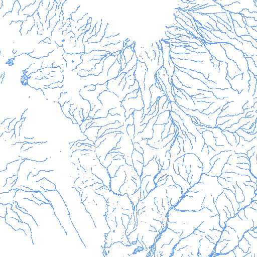
- Topography, range, locations, roads, rail, rivers and radars are located on the top line. You can click on as many of these as you wish and turn them off again by reclicking on the button.
- Radars were previous shown automatically on the map. Nearby radars are shown with the
icon. Click on it to see the currently shown timeframe from that radar.
- Observations are listed in the second line. The standard presentation is 'off' for all of these. If you are registered or a subscriber, the last observations you used will be remembered by your browser. You can only see one observation on the map at a time as otherwise the map becomes too busy.
- When viewing the latest images, you can click on the
button to automatically have the most recent images loaded as they become available (Free registration required).
- If you are on a mobile device with GPS capability, you can click on the
icon to show your latest position on the radar. This will update as you move. We do not transmit to nor store this information on our servers, it is only used within your browser.
- Data is currently available as far back as March 2005 for this imagery, however we do have older data available upon request.
- You can click and drag in the 'Intensity Series' to easily select a particular time.
- Clicking on the radar image starts and stops the animation.
- With a desktop browser, when hovering over the radar image, you can use the mousewheel to zoom and then pan by clicking and dragging.
- A maximum of 500 frames are shown for a given period.
- A maximum period can be selected of 14 days.
- Intensity values are intended to be indicative of activity only.
- Not all images for all locations are available. This may be due to radar problems, or problems with data transfer.
- Images are typically updated every 5 minutes, though some radars, and older data may be at 6 and 10 minute intervals.
- You can place a marker at an arbitrary point to get the rain intensity there by clicking on the
icon.
- If you register for a free account then settings you have chosen will be remembered between page loads.
- Please contact us with any queries, comments, or suggestions!
- Radar Images are © Australian Bureau of Meteorology.


 Install

